Mobile app Take Santorini Bus with you Available now on iPhone and Android

Explore · Santorini

Where the bus can take you on Santorini

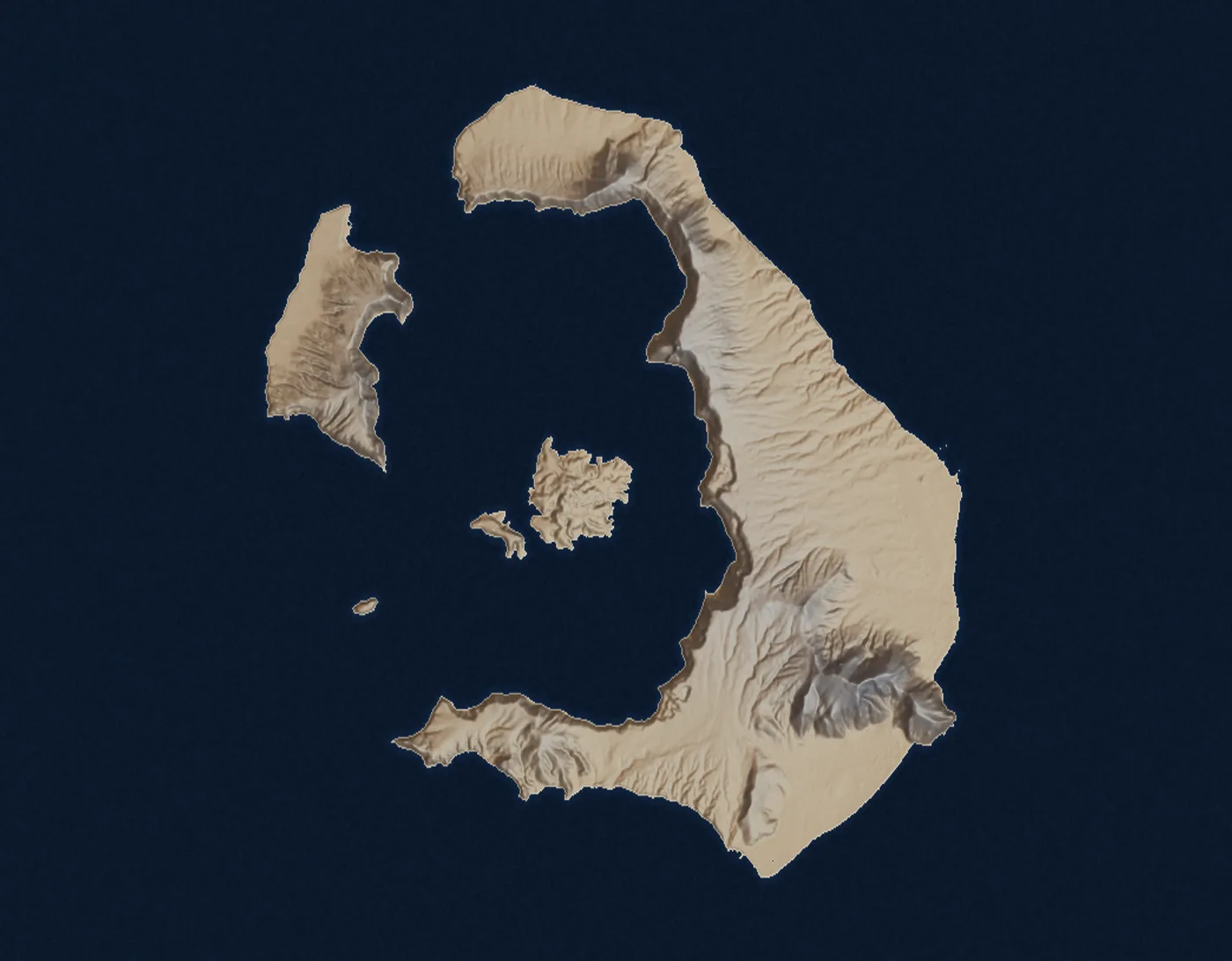
The caldera from its own elevation data, every place this guide has a page for, and the KTEL corridors that reach them from Fira. Choose a view, pick a kind of place, and open one to plan the day.
Open the official timetable

Skip the map to the list of places

Terrain Copernicus DEM GLO-30. © DLR e.V. 2010-2014 and © Airbus Defence and Space GmbH 2014-2018, provided under COPERNICUS by the European Union and ESA. Roads: © OpenStreetMap contributors (ODbL 1.0).

Bus lines on the map

  • Airport one line
  • Caldera villages 2 lines
  • Beaches and the south 4 lines
  • Villages one line

Fira ↔ Vlychada one line, not drawn. No sourced position for its far end; the corridor page has its departures. Vlychada

Places

20 places

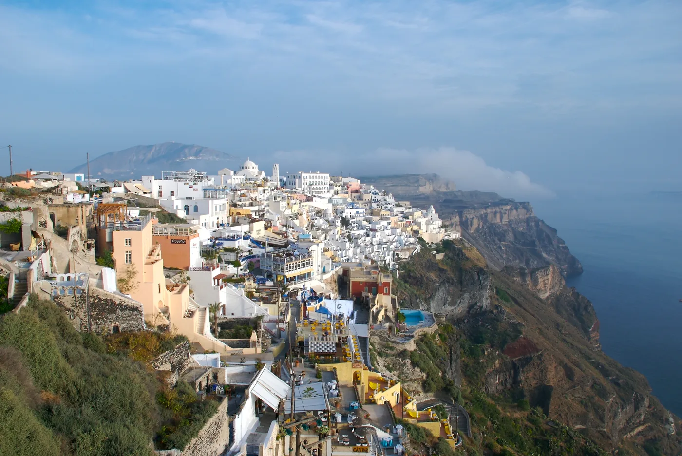
  1. Whitewashed and ochre buildings of Fira stacked along the caldera cliff, with the rim running north behind.
    Photo: Yoo Chung, CC BY-SA 2.5 (cropped), via Wikimedia Commons

    Caldera villages · Archaeology and old towns · Walks from a stop

    Fira

    Santorini’s capital and the centre of its bus network — every published corridor starts and ends here.

    Scheduled service

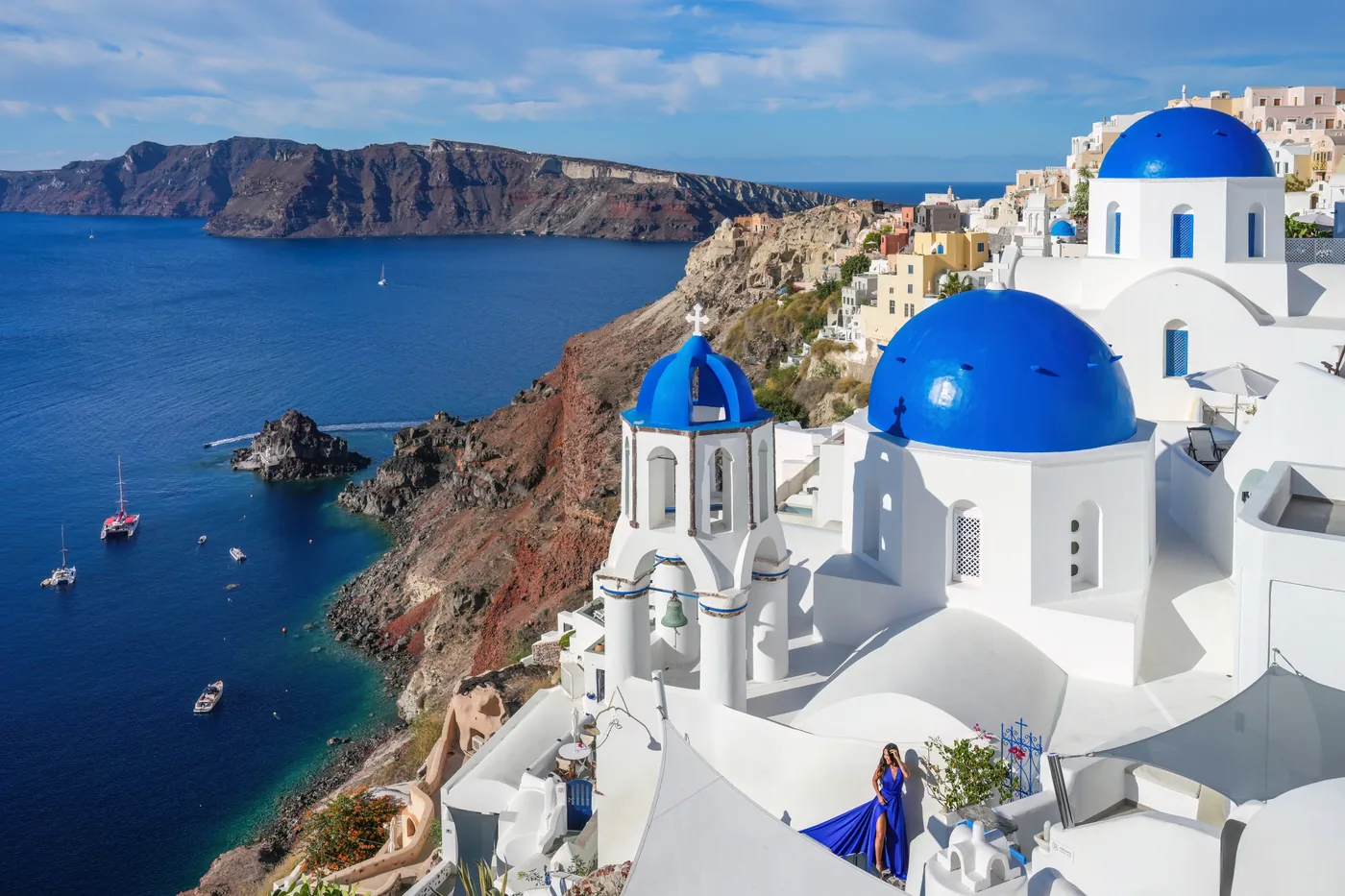
  2. Two blue church domes above the caldera in Oia, a woman in a blue dress on a terrace beside them, and sailing boats in the bay below.
    Photo: Giles Laurent, CC BY-SA 4.0 (cropped), via Wikimedia Commons

    Caldera villages · Walks from a stop

    Oia

    The village at the island’s northern tip, on the caldera rim, with blue-domed churches, windmills and a castle ruin where people gather for the sunset.

    Scheduled service

    Lines that stop here
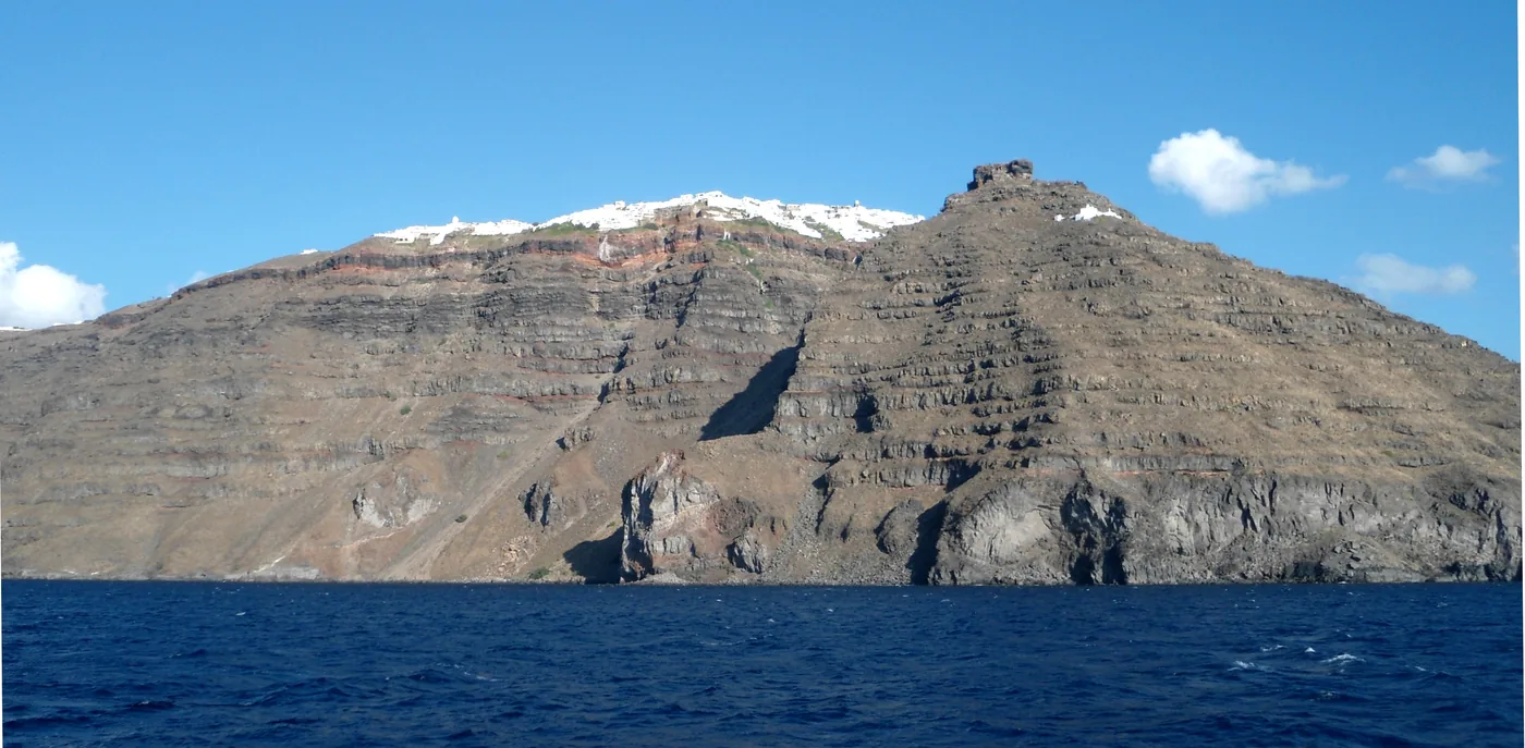
  3. The headland of Skaros Rock below the white houses of Imerovigli, seen from the sea against the dark caldera cliff.
    Photo: Rebexho, CC BY-SA 3.0 (cropped), via Wikimedia Commons

    Caldera villages · Walks from a stop

    Imerovigli

    A rim village above the deepest part of the drowned crater, with the Skaros headland and the ruins of a medieval fortress town in front of it.

    Scheduled service

    Lines that stop here
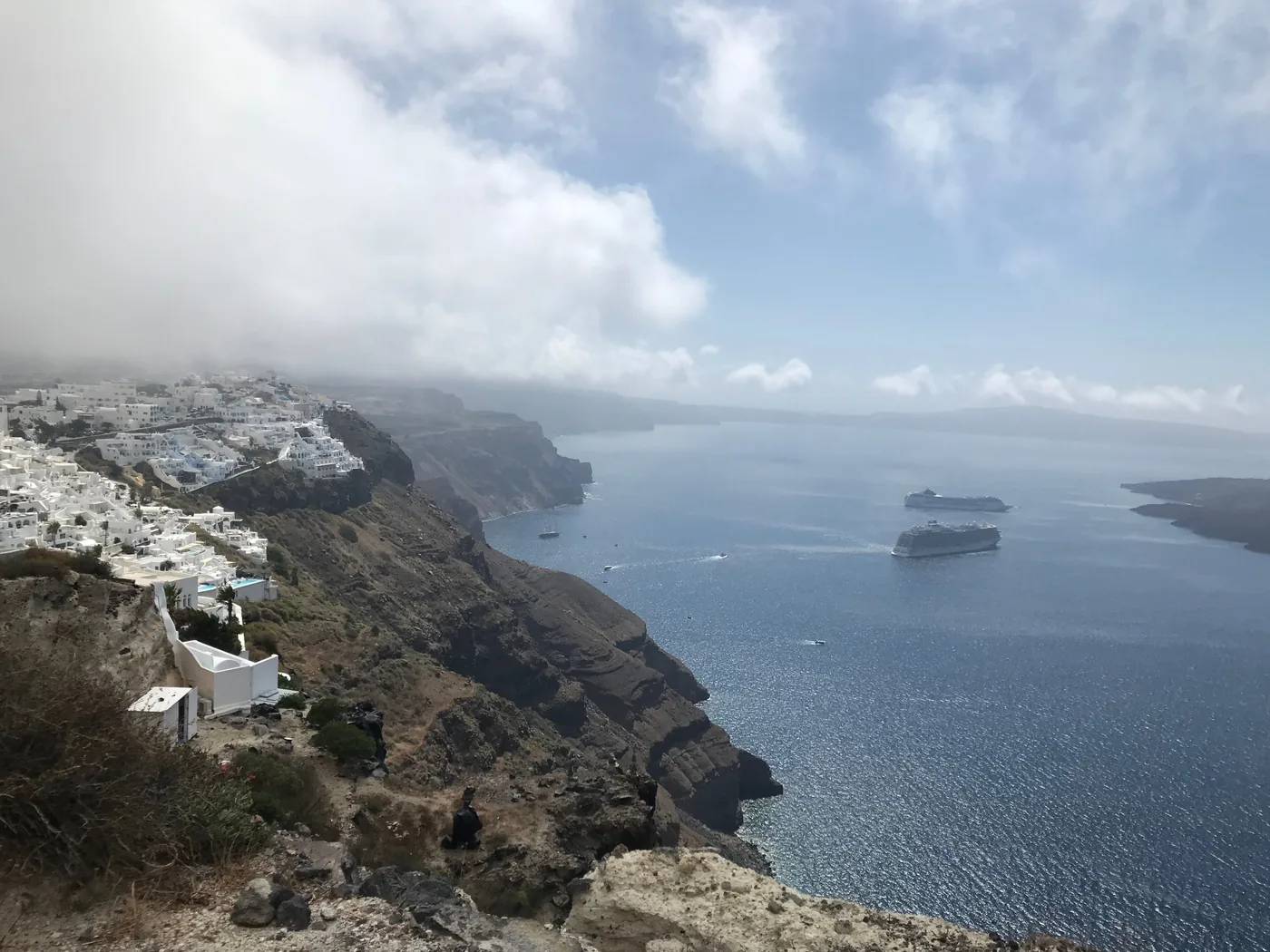
  4. White houses of Firostefani and Fira along the edge of the caldera cliff, seen from the path to Imerovigli, with ships in the bay and cloud over the rim.
    Photo: Zde, CC BY-SA 4.0 (cropped), via Wikimedia Commons

    Caldera villages · Walks from a stop

    Firostefani

    The quiet rim village between Fira and Imerovigli, on the same caldera path and the same short bus corridor.

    Scheduled service

    Lines that stop here
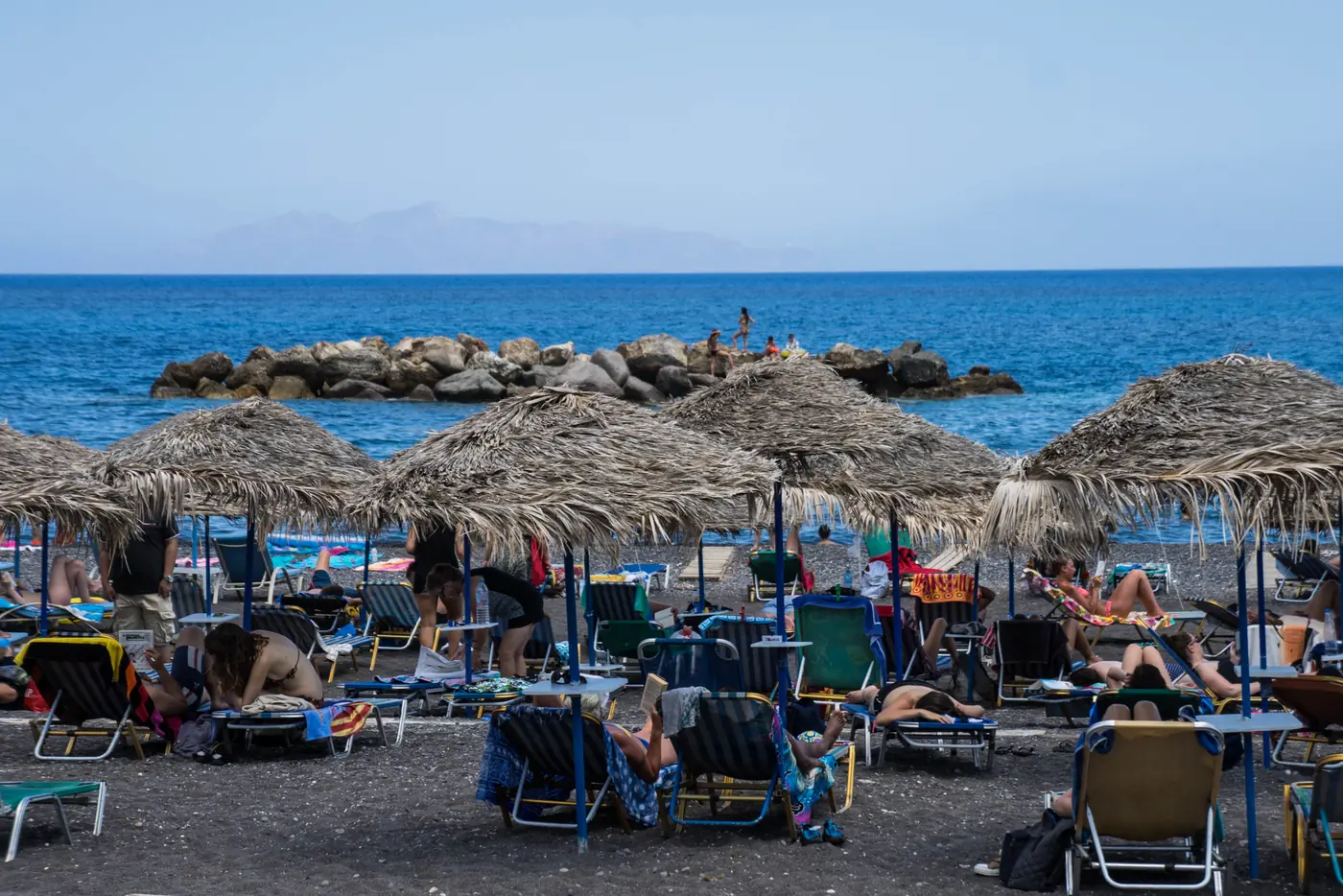
  5. Thatched umbrellas and sunbeds on the dark sand at Kamari, with a breakwater in a deep blue sea.
    Photo: Michelle Maria, CC BY 3.0 (cropped), via Wikimedia Commons

    Beaches · Walks from a stop

    Kamari

    A long black-sand beach with a proper seafront promenade, an open-air cinema, and ancient Thera on the mountain above.

    Scheduled service

    Lines that stop here
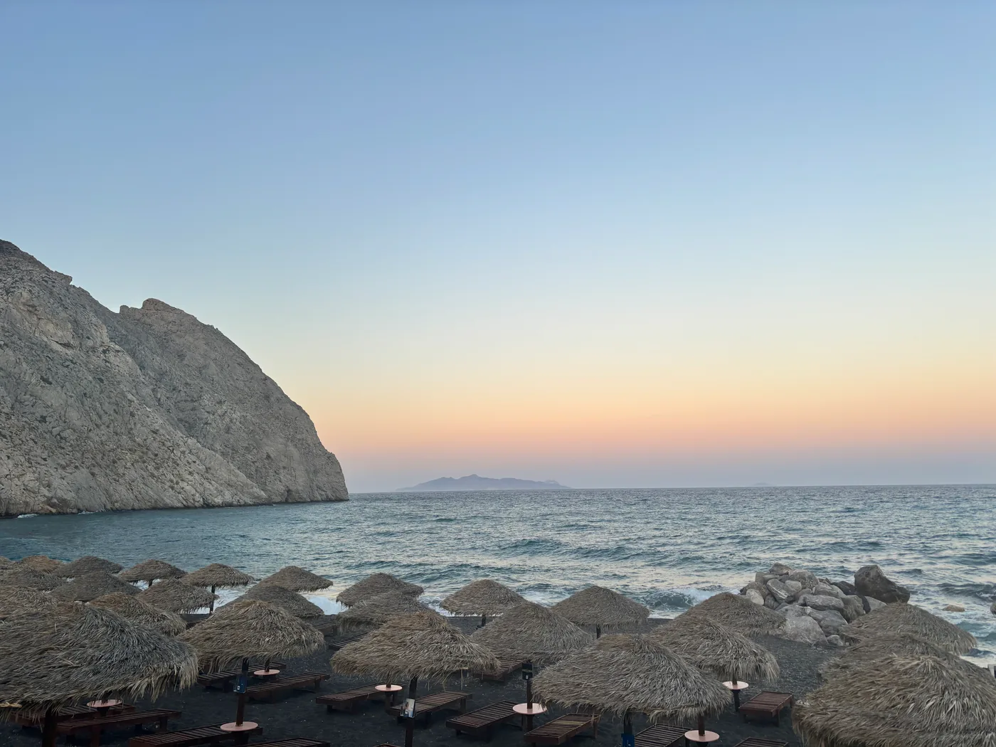
  6. Thatched beach umbrellas at Perissa at dusk, with the steep headland of Mesa Vouno rising from the sea.
    Photo: PCN02WPS, CC BY-SA 4.0 (cropped), via Wikimedia Commons

    Beaches · Walks from a stop

    Perissa

    Kamari’s laid-back sibling on the other side of the mountain — a huge black beach with a backpacker soul.

    Scheduled service

    Lines that stop here
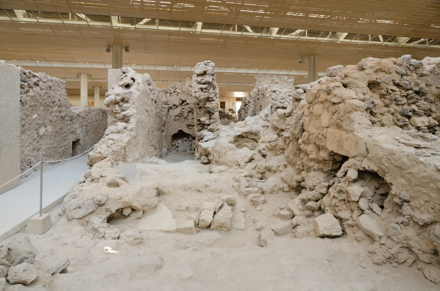
  7. Excavated stone walls and doorways of the Bronze Age town at Akrotiri under a modern roof.
    Photo: Norbert Nagel, CC BY-SA 3.0 (cropped), via Wikimedia Commons

    Archaeology and old towns · Beaches

    Akrotiri

    A 3,600-year-old city preserved in volcanic ash, minutes from the red-black drama of the southern cliffs.

    Scheduled service

    Lines that stop here
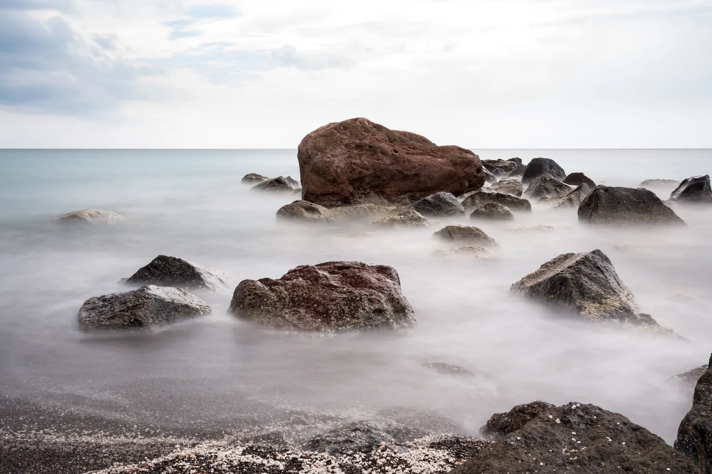
  8. Smooth boulders in a misty sea at Vlychada, photographed with a long exposure.
    Photo: Dietmar Rabich, CC BY-SA 4.0 (cropped), via Wikimedia Commons

    Beaches

    Vlychada

    A dark beach at the southern end of the island, under wind-carved pumice cliffs, beside a small marina and a tomato-industry museum.

    Scheduled service

    Lines that stop here
    Not pinned on the map yet

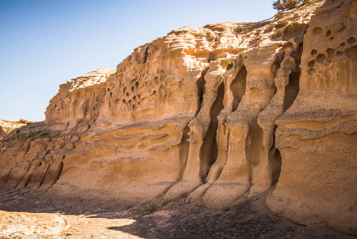
  9. Ochre sandstone cliffs at Monolithos, carved by the wind into hollows and ribs.
    Photo: Winniepix, CC BY 2.0 (cropped), via Wikimedia Commons

    Beaches

    Monolithos

    Shallow water, tamarisk shade and a playground — the local families’ beach near the airport, with its own published corridor.

    Scheduled service

    Lines that stop here
  10. A street in Megalochori with whitewashed and yellow houses, a blue church dome and a bell tower.
    Photo: Bernard Gagnon, CC BY-SA 3.0 (cropped), via Wikimedia Commons

    Inland villages

    Megalochori

    Bell towers, cave cellars and vineyards on the road to the south-west, with a published KTEL fare from Fira.

    Conditions apply

    Nearest printed stops: Fira

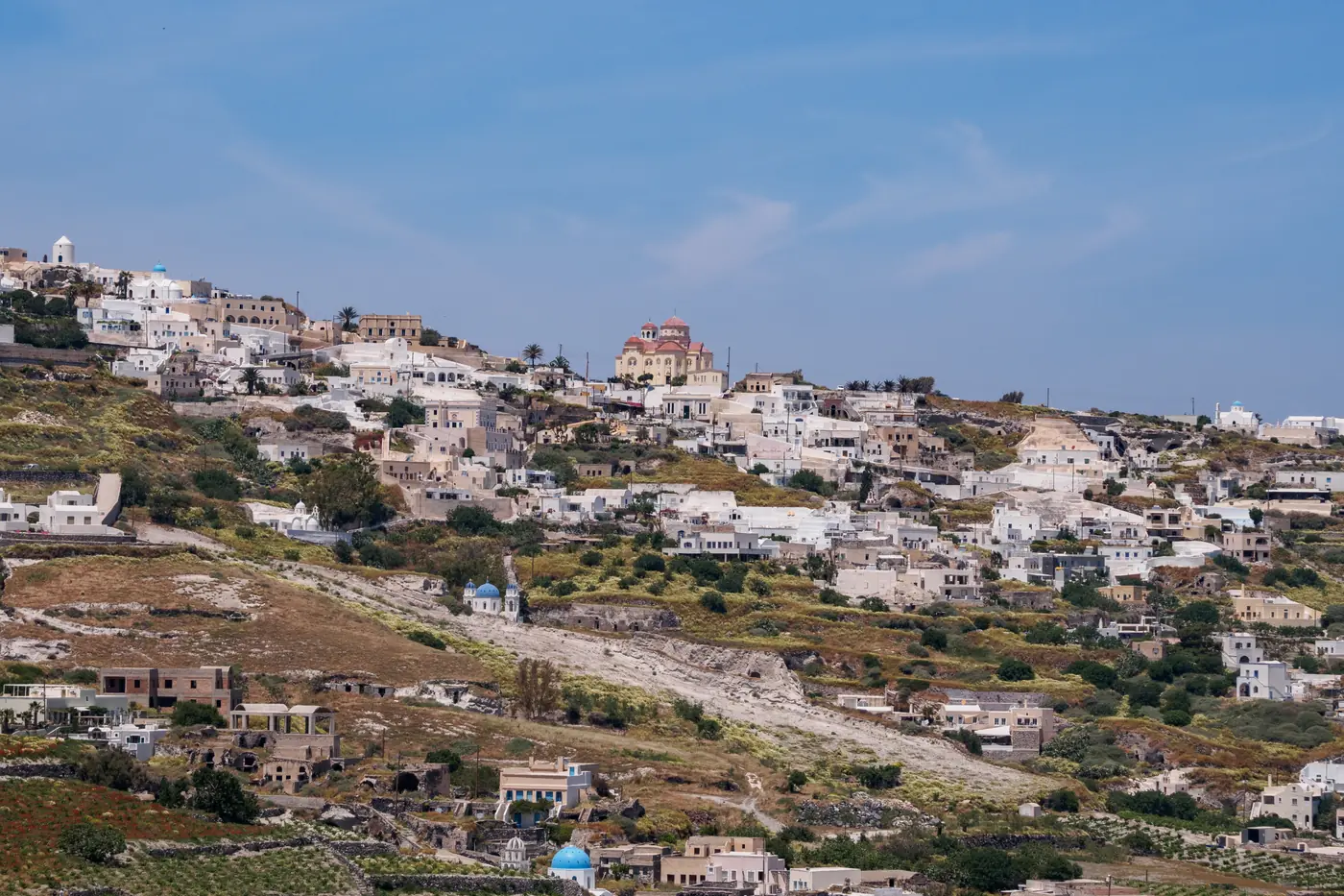
  11. Old houses climbing the hill at Pyrgos, with a bell tower and a blue church dome at the top.
    Photo: C messier, CC BY-SA 4.0 (cropped), via Wikimedia Commons

    Inland villages · Archaeology and old towns · Walks from a stop

    Pyrgos

    The old capital on its hill, with a KTEL fare from Fira and from Athinios port.

    Conditions apply

    Nearest printed stops: Fira

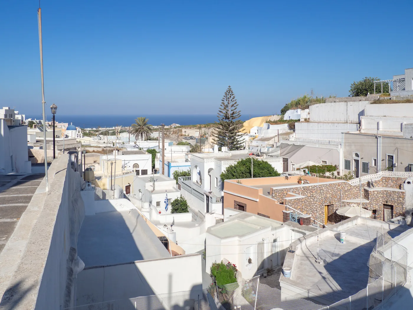
  12. A whitewashed lane in Emporio with a bell gable and a tall ochre house, under a deep blue sky.
    Photo: C messier, CC BY-SA 4.0 (cropped), via Wikimedia Commons

    Inland villages · Archaeology and old towns

    Emporio

    The largest village in the south, built around a medieval kastelli, on the way to Perissa.

    Conditions apply

    Nearest printed stops: Fira

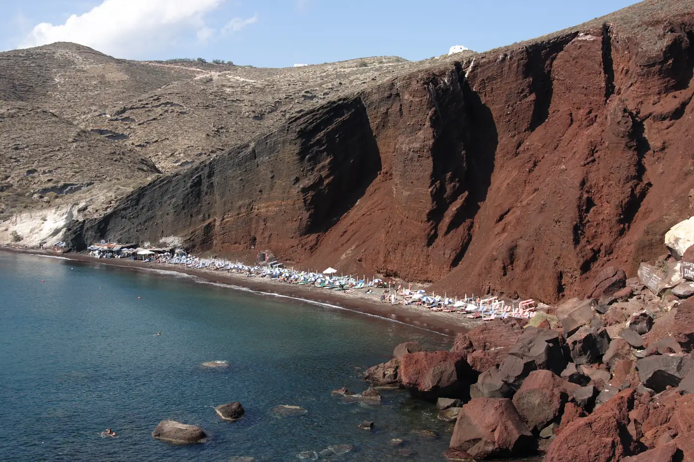
  13. Red Beach: a curve of dark sand with sunshades beneath a sheer red and black volcanic cliff.
    Photo: Hartmut Inerle, CC BY-SA 3.0 (cropped), via Wikimedia Commons

    The fare stage KTEL prints as "Akrotiri (beach)", beyond Akrotiri village, for the red-cliff beach.

    Conditions apply

    Lines that stop here

    Not pinned on the map yet

  14. Inland villages

    Vourvoulos

    A quiet hillside settlement on one of the island’s most limited published bus corridors.

    Scheduled service

    Lines that stop here
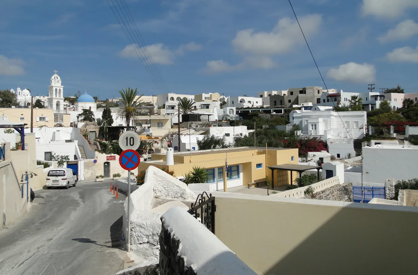
  15. Rooftops and white houses of Karterados seen from above, with trees and the sea in the distance.
    Photo: C messier, CC BY-SA 4.0 (cropped), via Wikimedia Commons

    Inland villages

    Karterados

    The first fare stage out of Fira on the roads south and east, with published KTEL fares to the south coast and the port.

    Conditions apply

    Nearest printed stops: Fira
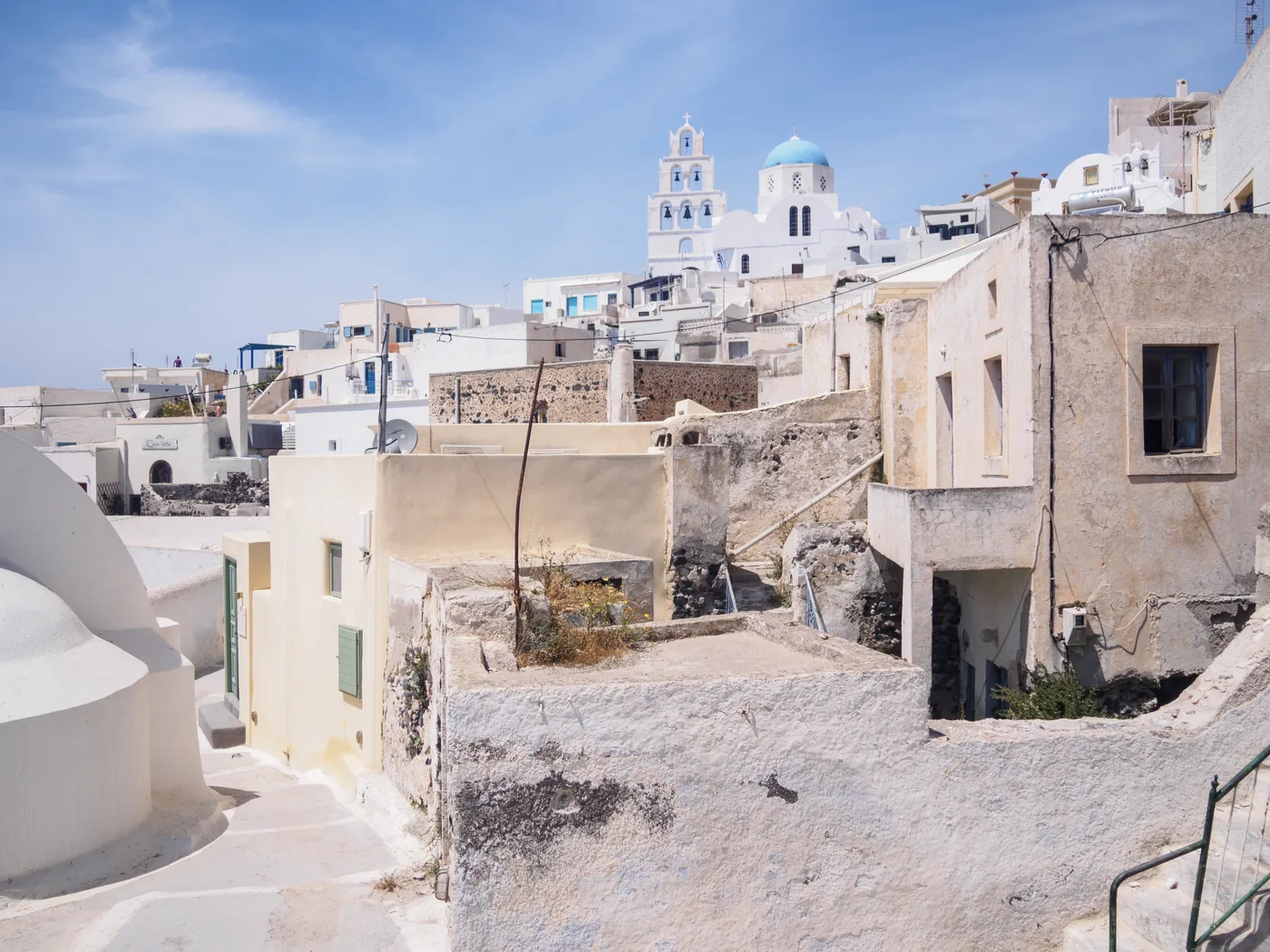
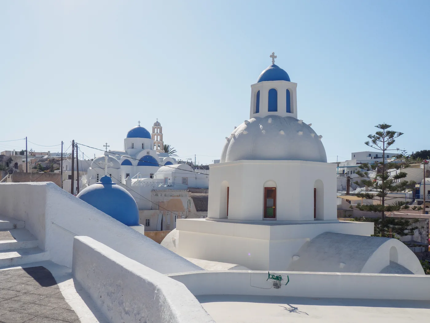
  16. White churches with blue domes in Messaria, seen across a flat whitewashed roof under a pale sky.
    Photo: C messier, CC BY-SA 4.0 (cropped), via Wikimedia Commons

    Inland villages

    Messaria

    Where the island roads meet: a KTEL fare stage with printed through fares to Perissa, Akrotiri, Vlychada and Athinios port.

    Conditions apply

    Nearest printed stops: Fira
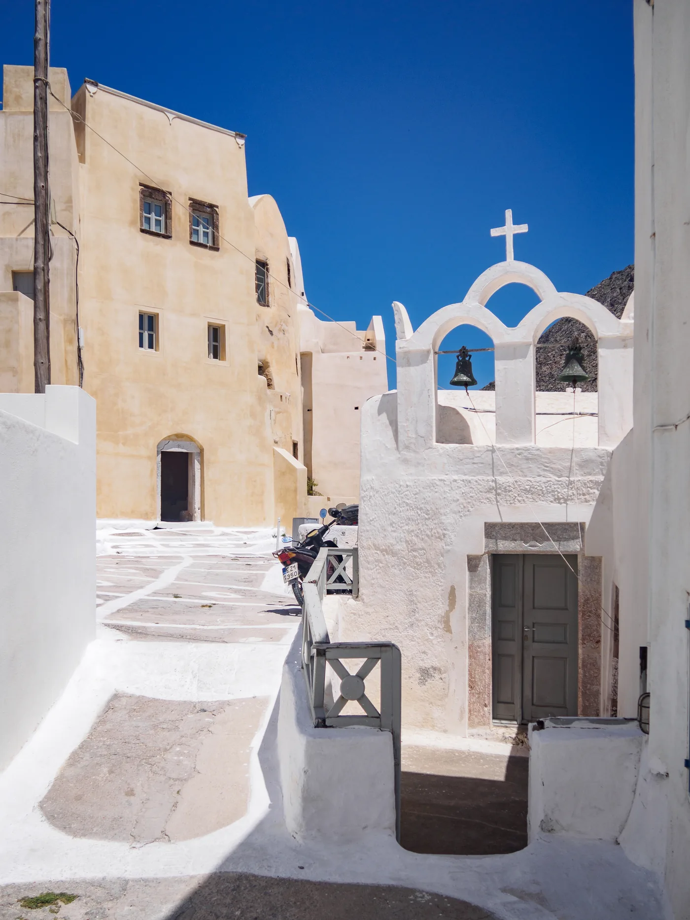
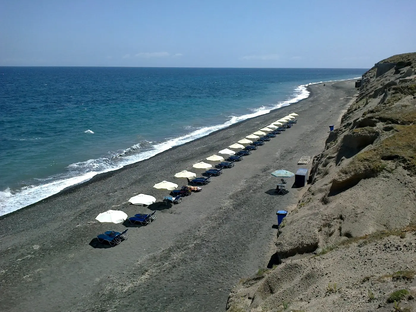
  17. A long dark-sand beach with a row of white sunshades below a pale cliff, the sea breaking along the shore.
    Photo: rene boulay, CC BY-SA 3.0 (cropped), via Wikimedia Commons

    Beaches

    Baxedes

    The quiet dark-sand beach beyond Oia, published as a KTEL fare stage from Fira.

    Conditions apply

    Nearest printed stops: Oia

    Not pinned on the map yet

  18. The white houses of Exo Gonia spread over a terraced hillside under a blue sky.
    Photo: C messier, CC BY-SA 4.0 (cropped), via Wikimedia Commons

    Inland villages

    Exo Gonia

    The village on the slope above Kamari, published by KTEL on the Monolithos fare stage.

    Conditions apply

    Lines that stop here

    Not pinned on the map yet
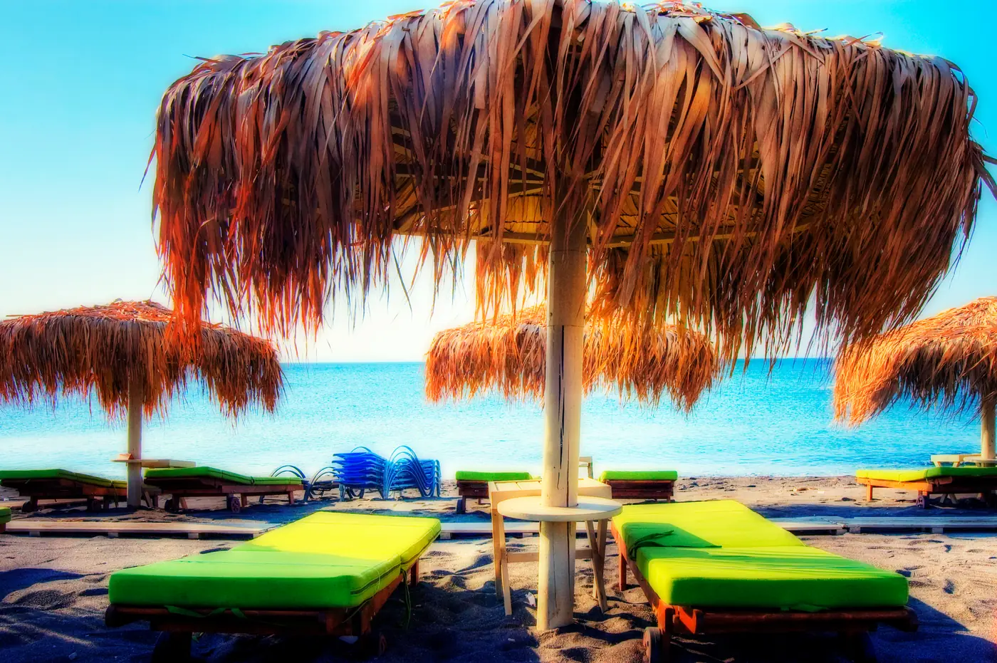
  19. Thatched sunshades and green sunbeds on a beach at Perivolos, with the sea bright behind.
    Photo: Wolfgang Staudt from Saarbruecken, Germany, CC BY 2.0 (cropped), via Wikimedia Commons

    Beaches

    Perivolos

    The continuation of Perissa beach, published by KTEL on the same fare row as Perissa.

    Conditions apply

    Lines that stop here

    Not pinned on the map yet
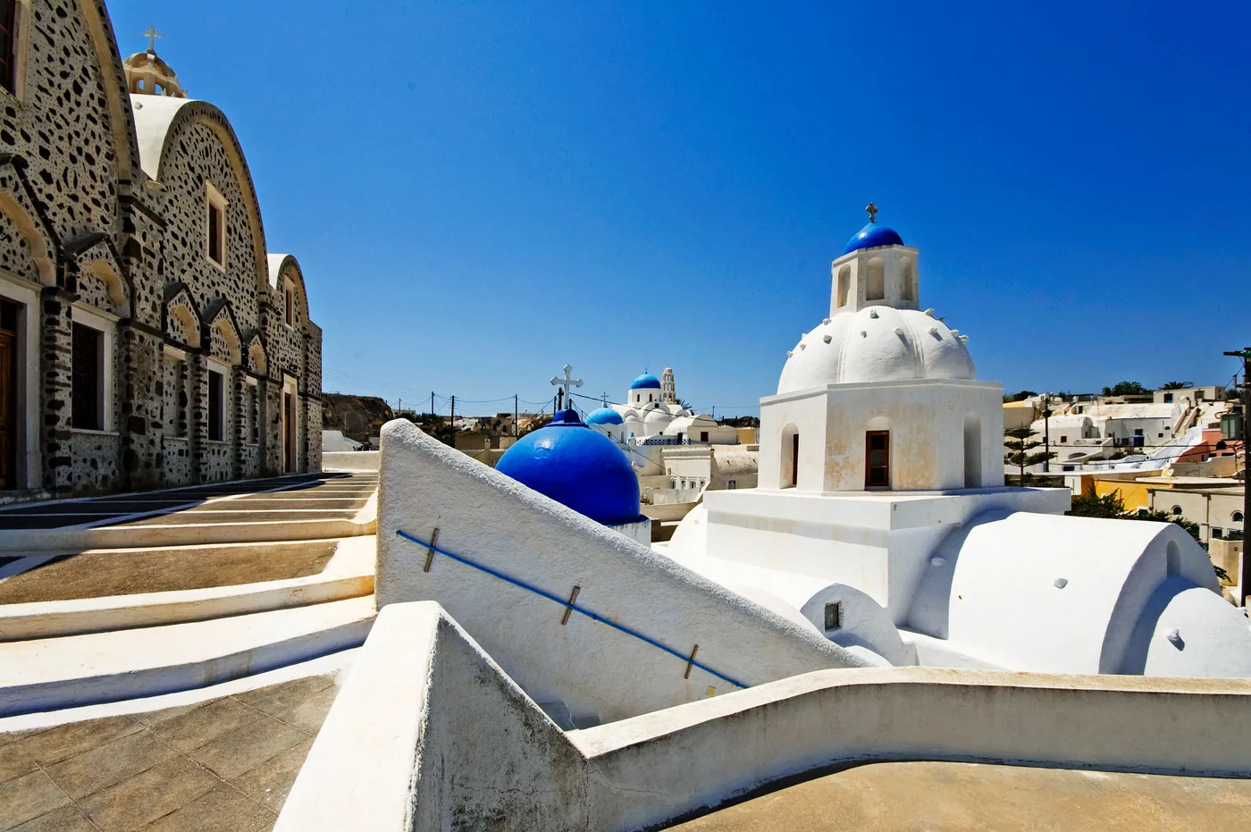
  20. A white church with a blue dome and a bell tower beside an arched stone building in Vothonas, under a deep blue sky.
    Photo: Wolfgang Staudt from Saarbruecken, Germany, CC BY 2.0 (cropped), via Wikimedia Commons

    Inland villages

    Vothonas

    Cave houses in a ravine between Fira and Pyrgos, on the same published fare stage as Pyrgos.

    Conditions apply

    Nearest printed stops: Messaria

    Not pinned on the map yet

The island at a glance

Santorini in three figures

Conditions

What kind of day is it on the rim and the beaches

Current readings in Fira, Oia, Kamari and Akrotiri. On Santorini the sun and the wind shape a walk on the rim or a day on the beach.

Fira

Readings load in your browser

Wind
—
Gusting
—
Temperature
—
Visibility
—

Oia

Readings load in your browser

Wind
—
Gusting
—
Temperature
—
Visibility
—

Kamari

Readings load in your browser

Wind
—
Gusting
—
Temperature
—
Visibility
—

Akrotiri

Readings load in your browser

Wind
—
Gusting
—
Temperature
—
Visibility
—

What the weather decides here

  • The rim path from Fira to Oia Firostefani, Imerovigli and Oia each have a corridor back to Fira, so the walk can end at any of them.
  • Skaros Rock at Imerovigli No shade and loose stones in places; the Imerovigli page asks for real shoes and water in midsummer.
  • Swimming on the east coast The municipality’s beach guide calls Monolithos shallow; no source checked publishes lifeguard cover or sea conditions, so read the beach flags on the day.
  • A day under a roof The Akrotiri excavation is covered, which makes it a plan for a hot, wet or windy day.

These are measured weather readings, not a service status. We do not infer from a reading whether a bus or a boat is running; KTEL’s timetable, linked from every corridor page, is the source for that.